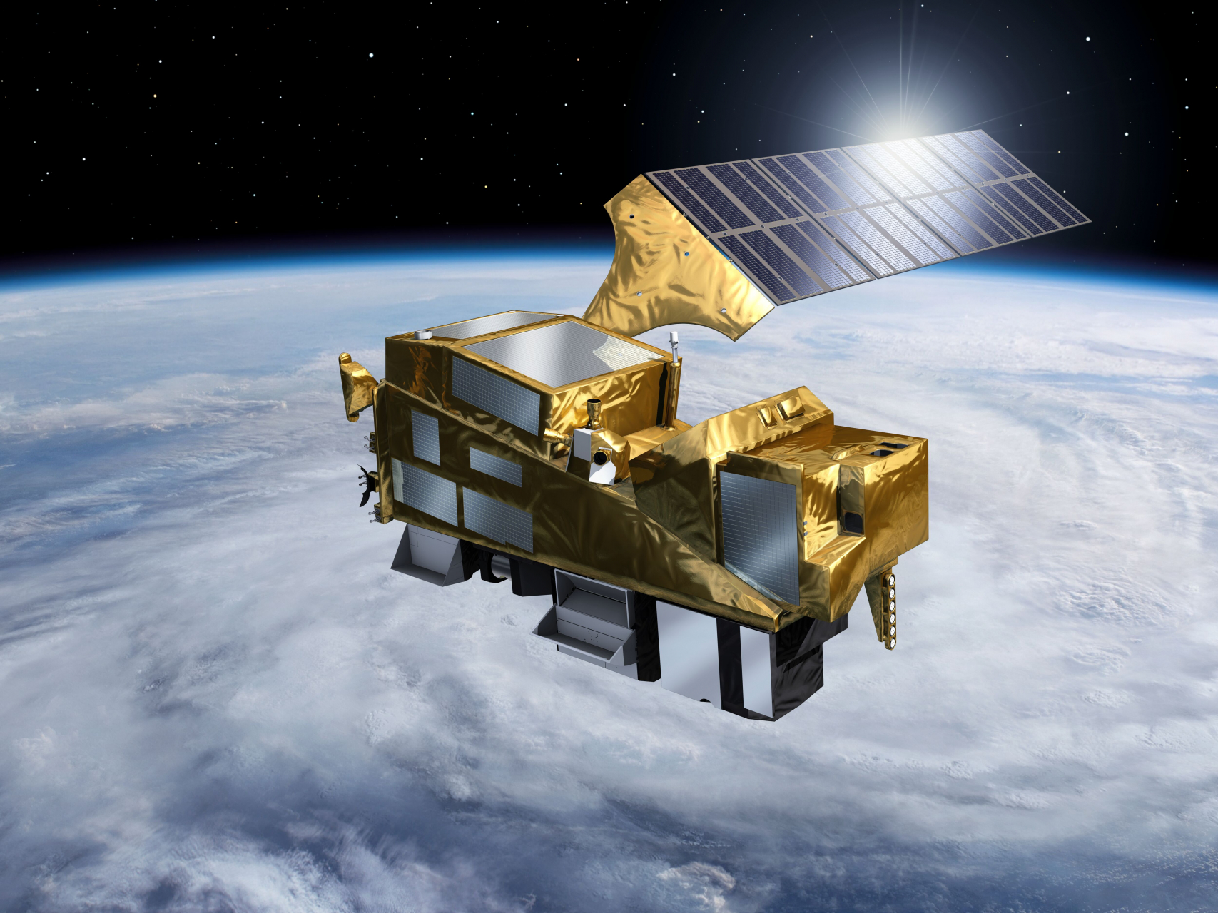
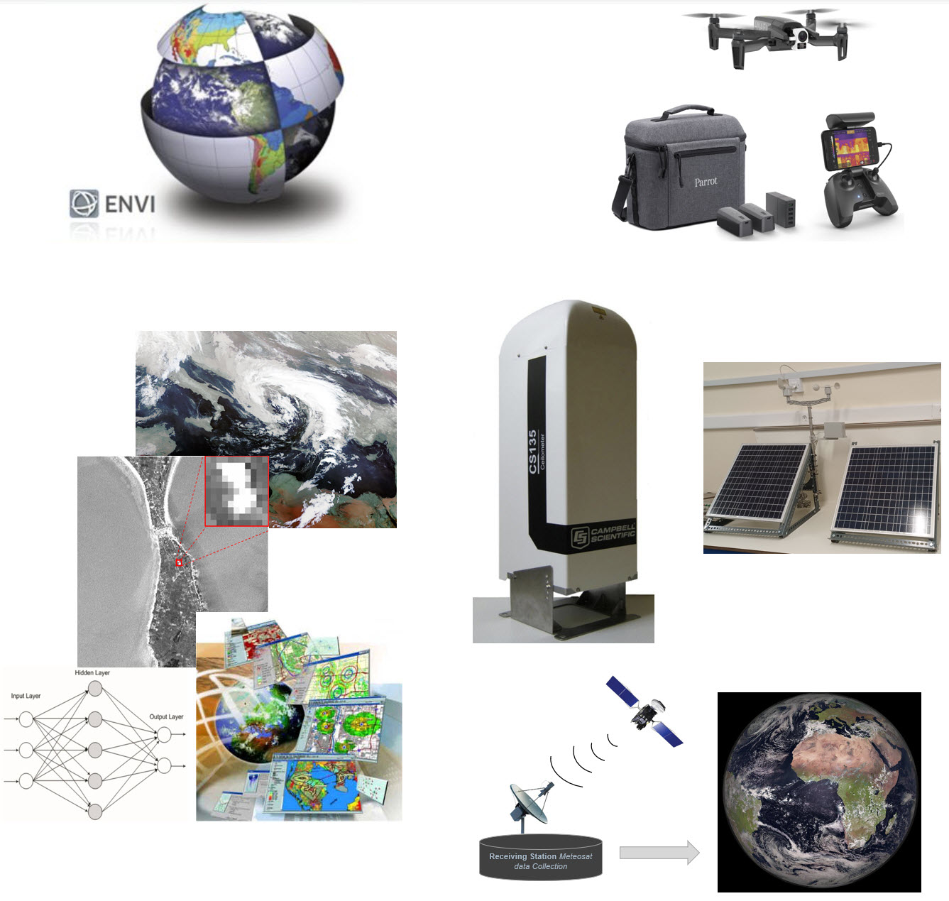
The main purpose of the Remote Sensing, and image processing laboratory (supervisor: Assistant Professor Dr. Stavros Kolios) is to meet the educational and research needs in the fields of remote sensing data processing, satellite observation of the atmosphere and the environment and the modern perspectives of the satellite navigation. The equipment of the laboratory includes modern state-of-the-art computers, specialized Remote Sensing software (ENVI), drones with VIS and IR recording capabilities, and collaborations for access to receiving stations of satellite data coming from geostationary satellites in real time. The activities of the laboratory are related to: • Advanced techniques for processing and analyzing satellite data • Design and development of integrated and automated satellite Remote Sensing applications • Combined use of satellite images and Geographic Information Systems (GIS) for the development of innovative methodologies with emphasis on the study of the terrestrial and atmospheric environment, meteorology and climate. • Satellite Remote sensing monitoring applications for assessment and prevention of environmental hazards and extreme weather events.